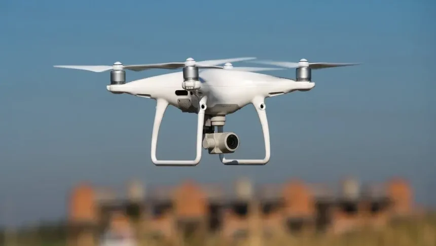
SIIDCUL Drone Mapping : A significant stride toward enhancing industrial operations is underway as the State Industrial & Infrastructure Development Corporation of Uttarakhand Limited (SIIDCUL) embarks on drone-assisted mapping. Spearheaded by the Information Technology Development Agency (ITDA), this endeavor aims to comprehensively map the industrial units nestled within the Siidcul region.
The forthcoming meticulously detailed mapping report will be furnished to SIIDCUL, subsequently expediting the provisioning of upgraded facilities for the industrial landscape.
- Advertisement -
Envisioning a comprehensive drone-driven mapping initiative that spans all industrial zones throughout the state, the Information Technology Development Agency (ITDA) has initiated a call for proposals to orchestrate this endeavor.
Prompted by SIIDCUL’s formal communication expressing their intent to harness drone technology for mapping industrial units under their jurisdiction, ITDA has taken the requisite measures to initiate this process.
ITDA is poised to usher in a phase of drone-assisted mapping for every industrial unit. Nitika Khandelwal, Director of ITDA, has confirmed that this mapping initiative has been set into motion for the Sidcul region.
Khandelwal underscores the intention to comprehensively share the exhaustive mapping results with SIIDCUL. This strategic mapping endeavor is projected to seamlessly facilitate the expeditious provision of essential services and facilities within the industrial sector.
- Advertisement -
In a broader context, the implementation of drone technology is gaining prominence across various governmental departments. Nitika Khandelwal, ITDA’s Director, illuminates the newfound potential of drones within government operations, spurred by the drone policy’s enabling framework.
Noteworthy is the proactive exploration of drone applications within the Agriculture Department, poised to be a boon for farmers. In the imminent future, farmers are poised to harness drones for a myriad of tasks, including precision aerial application of agricultural remedies within their fields. This leap stands as a testament to the innovative deployment of technology, ushering in enhancement across diverse sectors.”


